

Weather by region
Red Flag Warning for Idaho Falls
* AFFECTED AREA...Fire Weather Zone 410 Upper Snake River Valley/Idaho Falls BLM, Fire Weather Zone 422 Sawtooth Range/Northern Sawtooth NF, Fire Weather Zone 425 Middle Snake River Valley/Twin Falls BLM north of the Snake River, Fire Weather Zone 475 East Salmon River Mountains/Salmon NF and Fire Weather Zone 476 Lemhi and Lost River Range/Challis NF. * WINDS...West to southwest 15 to 25 mph with gusts up to 40 mph. * RELATIVE HUMIDITY...10-15 percent. * IMPACTS...Wind and low humidity can lead to rapid spread of fire and more intense fire in receptive fuels. -- NWS Pocatello ID
Air Quality Alert for Pocatello
AQAPIH * WHAT...Air Quality Advisory because of degraded air quality due to wildfire smoke. Air Quality Index is forecast to be Unhealthy. * WHERE...BANNOCK, BINGHAM, CARIBOU, ONEIDA AND POWER COUNTIES. * WHEN...THROUGH TUESDAY, AUGUST 4TH. * IMPACTS...Some members of the general public may experience health effects; members of sensitive groups may experience more serious health effects. -- NWS Pocatello ID
Red Flag Warning for Rexburg
* AFFECTED AREA...Fire Weather Zone 410 Upper Snake River Valley/Idaho Falls BLM, Fire Weather Zone 422 Sawtooth Range/Northern Sawtooth NF, Fire Weather Zone 425 Middle Snake River Valley/Twin Falls BLM north of the Snake River, Fire Weather Zone 475 East Salmon River Mountains/Salmon NF and Fire Weather Zone 476 Lemhi and Lost River Range/Challis NF. * WINDS...West to southwest 15 to 25 mph with gusts up to 40 mph. * RELATIVE HUMIDITY...10-15 percent. * IMPACTS...Wind and low humidity can lead to rapid spread of fire and more intense fire in receptive fuels. -- NWS Pocatello ID
Red Flag Warning for Rigby
* AFFECTED AREA...Fire Weather Zone 410 Upper Snake River Valley/Idaho Falls BLM, Fire Weather Zone 422 Sawtooth Range/Northern Sawtooth NF, Fire Weather Zone 425 Middle Snake River Valley/Twin Falls BLM north of the Snake River, Fire Weather Zone 475 East Salmon River Mountains/Salmon NF and Fire Weather Zone 476 Lemhi and Lost River Range/Challis NF. * WINDS...West to southwest 15 to 25 mph with gusts up to 40 mph. * RELATIVE HUMIDITY...10-15 percent. * IMPACTS...Wind and low humidity can lead to rapid spread of fire and more intense fire in receptive fuels. -- NWS Pocatello ID
Air Quality Alert for Blackfoot
AQAPIH * WHAT...Air Quality Advisory because of degraded air quality due to wildfire smoke. Air Quality Index is forecast to be Unhealthy. * WHERE...BANNOCK, BINGHAM, CARIBOU, ONEIDA AND POWER COUNTIES. * WHEN...THROUGH TUESDAY, AUGUST 4TH. * IMPACTS...Some members of the general public may experience health effects; members of sensitive groups may experience more serious health effects. -- NWS Pocatello ID
Red Flag Warning for St. Anthony
* AFFECTED AREA...Fire Weather Zone 410 Upper Snake River Valley/Idaho Falls BLM, Fire Weather Zone 422 Sawtooth Range/Northern Sawtooth NF, Fire Weather Zone 425 Middle Snake River Valley/Twin Falls BLM north of the Snake River, Fire Weather Zone 475 East Salmon River Mountains/Salmon NF and Fire Weather Zone 476 Lemhi and Lost River Range/Challis NF. * WINDS...West to southwest 15 to 25 mph with gusts up to 40 mph. * RELATIVE HUMIDITY...10-15 percent. * IMPACTS...Wind and low humidity can lead to rapid spread of fire and more intense fire in receptive fuels. -- NWS Pocatello ID
Red Flag Warning for Driggs
* AFFECTED AREA...Fire Weather Zone 410 Upper Snake River Valley/Idaho Falls BLM, Fire Weather Zone 422 Sawtooth Range/Northern Sawtooth NF, Fire Weather Zone 425 Middle Snake River Valley/Twin Falls BLM north of the Snake River, Fire Weather Zone 475 East Salmon River Mountains/Salmon NF and Fire Weather Zone 476 Lemhi and Lost River Range/Challis NF. * WINDS...West to southwest 15 to 25 mph with gusts up to 40 mph. * RELATIVE HUMIDITY...10-15 percent. * IMPACTS...Wind and low humidity can lead to rapid spread of fire and more intense fire in receptive fuels. -- NWS Pocatello ID
85℉
Feels like 83℉
clear sky

Pressure: 1007 hPa
Dew Point: 49℉
Clouds: 0%
Humidity: 29%
UV Index: 9.43
Visibility: 6.23 miles
Wind Speed
18 mph
Wind Dir
Today's Gust
37 mph
84℉
Feels like 82℉
overcast clouds

Pressure: 1009 hPa
Dew Point: 45℉
Clouds: 97%
Humidity: 25%
UV Index: 9.56
Visibility: 6.23 miles
Wind Speed
12 mph
Wind Dir
Today's Gust
23 mph
86℉
Feels like 83℉
clear sky
Pressure: 1007 hPa
Dew Point: 48℉
Clouds: 2%
Humidity: 27%
UV Index: 9.41
Visibility: 6.23 miles
Wind Speed
19 mph
Wind Dir
Today's Gust
36 mph
85℉
Feels like 83℉
clear sky
Pressure: 1007 hPa
Dew Point: 49℉
Clouds: 0%
Humidity: 29%
UV Index: 9.41
Visibility: 6.23 miles
Wind Speed
18 mph
Wind Dir
Today's Gust
35 mph
88℉
Feels like 85℉
few clouds

Pressure: 1008 hPa
Dew Point: 48℉
Clouds: 12%
Humidity: 26%
UV Index: 9.46
Visibility: 6.23 miles
Wind Speed
16 mph
Wind Dir
Today's Gust
28 mph
85℉
Feels like 83℉
clear sky
Pressure: 1006 hPa
Dew Point: 46℉
Clouds: 0%
Humidity: 25%
UV Index: 9.41
Visibility: 6.23 miles
Wind Speed
20 mph
Wind Dir
Today's Gust
36 mph
80℉
Feels like 80℉
broken clouds
Pressure: 1008 hPa
Dew Point: 36℉
Clouds: 58%
Humidity: 21%
UV Index: 9.64
Visibility: 6.23 miles
Wind Speed
14 mph
Wind Dir
Today's Gust
29 mph
83℉
Feels like 82℉
overcast clouds
Pressure: 1009 hPa
Dew Point: 54℉
Clouds: 100%
Humidity: 37%
UV Index: 9.50
Visibility: 6.23 miles
Wind Speed
5 mph
Wind Dir
Today's Gust
32 mph
Daily Forecast
Sun 2
89℉
65℉
Mon 3
82℉
56℉
Tue 4
86℉
46℉
Wed 5
88℉
50℉
Thu 6
95℉
52℉
Fri 7
101℉
56℉
Sun 2
91℉
70℉
Mon 3
83℉
59℉
Tue 4
89℉
57℉
Wed 5
91℉
55℉
Thu 6
98℉
61℉
Fri 7
103℉
67℉
Sun 2
90℉
64℉
Mon 3
82℉
56℉
Tue 4
86℉
47℉
Wed 5
88℉
48℉
Thu 6
95℉
53℉
Fri 7
101℉
57℉
Sun 2
90℉
64℉
Mon 3
82℉
57℉
Tue 4
87℉
46℉
Wed 5
89℉
49℉
Thu 6
95℉
52℉
Fri 7
101℉
57℉
Sun 2
91℉
69℉
Mon 3
84℉
60℉
Tue 4
89℉
51℉
Wed 5
92℉
50℉
Thu 6
99℉
55℉
Fri 7
103℉
61℉
Sun 2
90℉
62℉
Mon 3
82℉
54℉
Tue 4
86℉
46℉
Wed 5
87℉
48℉
Thu 6
94℉
52℉
Fri 7
100℉
56℉
Sun 2
85℉
56℉
Mon 3
72℉
45℉
Tue 4
78℉
40℉
Wed 5
81℉
45℉
Thu 6
87℉
49℉
Fri 7
92℉
54℉
Sun 2
87℉
62℉
Mon 3
78℉
53℉
Tue 4
79℉
46℉
Wed 5
82℉
51℉
Thu 6
89℉
56℉
Fri 7
93℉
60℉
Weather-related stories
Webcams
Webcams from state road agencies unless otherwise noted.
Antelope Flats
Blackfoot
Fall River
Gem Valley
Idaho Falls
Osgood
Sage Junction
INL Puzzle
Ucon
Thornton (near Rexburg)
Henrys Lake
Ririe
Osborne Bridge US-20
Sheep Falls (near Ashton)
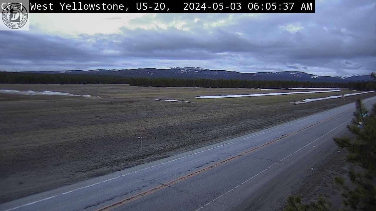
West Yellowstone
Botts (near Newdale)


Teton Pass
Jackson Hole
Webcam from seejh.com